
 01 / 01
GARMIN
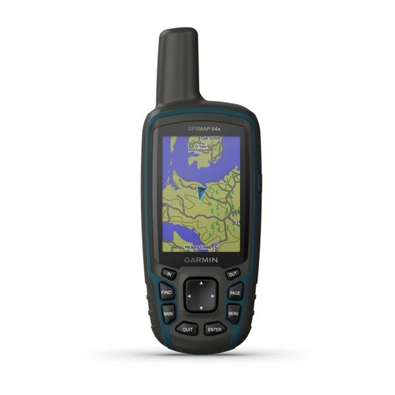
eTrex® 32x
3-AXIS COMPASS & BAROMETRIC ALTIMETER GPSAdvanced rugged handheld GPS navigator featuring a sunlight-readable 2.2-inch color display, preloaded TopoActive maps, 3-axis tilt-compensated electronic compass, barometric altimeter, and ANT+ wireless connectivity for demanding forestry, geology, and terrain survey teams.
Display2.2-inch transflective 65K color TFT (240 x 320 pixels), sunlight-readable
Satellite ConstellationsGPS and GLONASS dual-satellite reception
Configuration, availability and delivery confirmed with your quotation.
01 / FIELD CAPABILITIES
Built for the task.
- Built-in 3-axis tilt-compensated electronic compass maintains exact directional heading even while stationary without holding the unit level
- Barometric altimeter tracks barometric pressure changes to pinpoint exact altitude and monitor shifting meteorological trends
- ANT+ wireless connectivity enables seamless wire-free transfer of waypoints, routes, and tracks between compatible Garmin field units
- Dual GPS and GLONASS constellation reception locks signals rapidly in heavy timber cover, ravines, and remote wilderness
- Preloaded routable TopoActive maps supply topographic features, trails, and summits for reliable fieldwork navigation
- Compact IPX7 waterproof and shock-resistant chassis engineered for long expeditions with up to 25 hours on 2 AA batteries
02 / TECHNICAL DETAILS
Precision, specified.
- Display
- 2.2-inch transflective 65K color TFT (240 x 320 pixels), sunlight-readable
- Satellite Constellations
- GPS and GLONASS dual-satellite reception
- Electronic Compass
- 3-axis tilt-compensated electronic compass (accurate bearing while stationary)
- Barometric Altimeter
- Integrated barometric pressure sensor for precise elevation profiling and weather tracking
- Wireless Connectivity
- ANT+® wireless technology (unit-to-unit data transfer & sensor pairing)
- Preloaded Maps
- TopoActive maps (routable roads, trails, waterways, elevation contours)
- Internal Storage
- 8 GB internal memory
- Expandable Memory
- microSD™ card slot (supports up to 32 GB)
- Battery Type
- 2 AA batteries (NiMH, Lithium, or Alkaline recommended)
- Battery Autonomy
- Up to 25 hours continuous operation in GPS mode
- Water Rating
- IPX7 (waterproof against temporary immersion up to 1 meter for 30 minutes)
- Waypoints & Routes
- 2,000 waypoints / 200 routes / 200 saved tracks (10,000 track log points)
- Interface
- Mini-USB, NMEA 0183 compatible
- Dimensions (W x H x D)
- 5.4 x 10.3 x 3.3 cm (2.1" x 4.0" x 1.3")
- Weight
- 141.7 g (5.0 oz) with batteries
- Field Navigation Tools
- Area calculation, automatic routing, custom POIs, celestial tables, tempe™ temperature sensor support
Key specifications and field-use details. Exact configuration may vary by model or selected variant.
Garmin
Find your position and your next destination with purpose-built handheld navigation.
CONTINUE YOUR EXPLORATION
All products COMPLETE YOUR FIELD KIT.
YOUR NEXT EXPEDITION STARTS HEREBig terrain.
Big terrain.
Bigger possibilities.
Tell us where you're headed.
We'll help you get equipped.